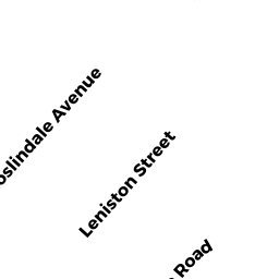
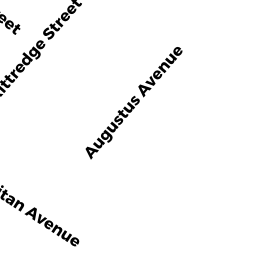
245247 KITTREDGE ST
Owner Information
MCGUIRE JOHN P TS
247 KITTREDGE
ROSLINDALE, MA 02131


Property Details
245247 KITTREDGE ST is classified as a Two-Family Residential (Duplex).
The primary structure on this property was built in 1926. There is 2,800ft2 of residential/living space within this property. This property is listed as having 14 rooms.
245247 KITTREDGE ST is valued at $558,300. The land is valued at $201,500 and the structures are valued at $356,800.
The most recent deed for 245247 KITTREDGE ST is recorded at the local registrar in Book 82984, Page 6RL. 245247 KITTREDGE ST was last sold on Tuesday, April 1, 2014 for $9.
Assessment data from fiscal year 2020.
Flood Data
According to the FEMA National Flood Hazard Layer, this property does not appear to be in a flood zone. It may also be in an area not yet reviewed. Nonetheless, confirm this information prior to taking any action.
To view the flood hazards around this property, create a FEMA "Firmette" Map of the area around 245247 KITTREDGE ST.
Broadband Internet Providers
| Provider | Type | Bandwidth (mbps) | |
|---|---|---|---|
| GCI Communication Corp. | Satellite | 0 | 0 |
| Viasat Inc | Satellite | 100 | 3 |
| Verizon New England Inc. | DSL | 7 | 0 |
| Verizon New England Inc. | Fiber | 940 | 880 |
| Comcast | Cable | 1000 | 35 |
| RCN | Cable | 500 | 20 |
| RCN | Cable | 1000 | 20 |
| HughesNet | Satellite | 25 | 3 |
| VSAT Systems, LLC. | Satellite | 2 | 1 |
Broadband service provider data from December 2020.
Adjacent Properties
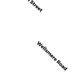
- 105107 WELLSMERE RD
Two-Family Residential owned by ALLEYNE SHERMA - 241243 KITTREDGE ST
Two-Family Residential owned by YOUNG CHAN JOYCE - 249-251 KITTREDGE ST
Other, Open Space owned by 249-251 KITTREDGE ST CONDOMINIUM TRUST - 249-251 KITTREDGE ST 249
Residential Condominium owned by HILBERT GREGORY - 249-251 KITTREDGE ST 251
Residential Condominium owned by MANCA PETER